On Friday, September 1, the US Forest Service will begin work to complete the boardwalk at the Zach’s Stop Trailhead, as well as doing trail maintenance on Hattie’s Trail/9078, which will also be closed. The work will start on Friday, September 1, 2023 and will continue until Wednesday, October 3, 2023, resulting in a full closure of the Peaks/Rainbow Lake Trail and Hattie’s Trail in this area. Zach’s Stop is a frequently used access point for Rainbow Lake, and the trail commonly known as the Rainbow Lake Trail is in fact officially named the Peaks Trail/45. This trail is well used, and this maintenance and planned improvements will greatly improve user experience.
Trail Work Overview
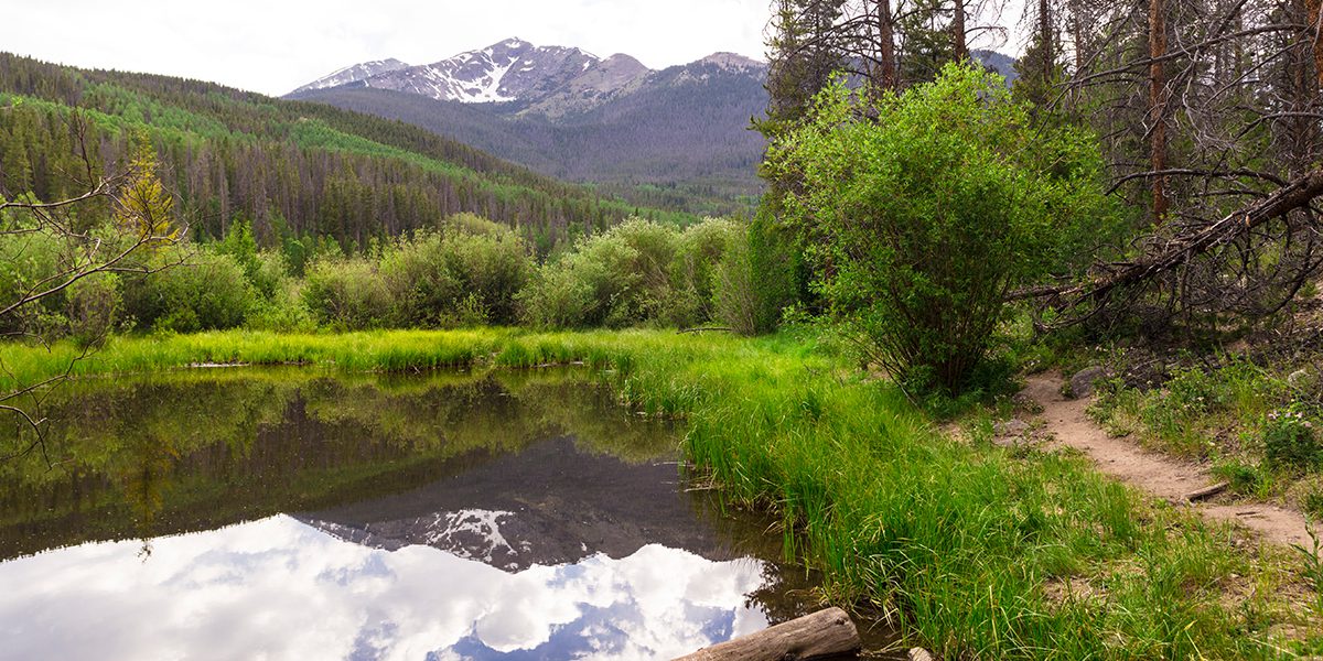
The US Forest Service will be completing the new boardwalk on the Peaks Trail at Zach’s Stop, which was started in 2022. They will also be de-commissioning the old boardwalk during this time, in addition to doing some needed trail maintenance on Hattie’s Trail. The Peaks Trail leading to Rainbow Lake will be closed from Zach’s Stop to Bill’s Ranch Trail.
To not hinder or delay work, the public will not be allowed in this area, including Hattie’s Trail, for the duration of the closure from September 1 through October 3. The US Forest Service has emphasized that any public use of the area could delay the completion of the boardwalk into next summer.
Other Ways to Access Rainbow Lake
Trail users must use other trails to get to Rainbow Lake from September 1 through October 20, 2023. The CoTrex app at Trails.Colorado.gov is a great resource, and we would suggest that all trail users download this app for current maps and alerts. Here are three interesting alternative routes to Rainbow Lake that can be found on the CoTrex app:
Option 1
Park at the Miner’s Creek Trailhead #38 and walk the paved Summit County Recreational Pathway just past the gate until you cross another paved pathway. Here you can take Miner’s Creek Road (which is dirt) or several trails, which lead uphill, that meet up with Miner’s Creek Road. Eventually you will come to a point where the creek goes under the road, and you can take the signed right-hand turn to get to Rainbow Lake.
Driving Directions to the Miner’s Creek Trailhead:
From I-70 take Exit 203, Frisco/Breckenridge, and travel south on HWY 9 toward Breckenridge, CO. Turn right on County Road 2004 which is the entrance to the County Commons. Follow this road for approximately 100 yards and turn right, then turn immediately left. Continue on this road for another 0.3 miles to the parking area at the gate. This parking area is used in both the summer and winter.
The free Summit Stage bus route between Breckenridge and Frisco also stops a short walk from this trailhead; just get off at the Community Center stop and ask the bus driver to point you towards the Miner’s Creek Trailhead, which is just up the dirt road in the direction of the beautiful Peak One.
Option 2
Park at Zach’s Stop and take the Mount Royal Trail to the Masontown Trail. This involves a bit of a climb on the Mount Royal Trail on your way to Rainbow Lake, but the views are well worth it, and it is all downhill on the way back. You can make this an out and back or take the Peaks Trail to the Bill’s Ranch Connector Trail and then continue north down to the paved Summit County Recreational Pathway, which will lead you back to Zach’s Stop.
Option 3
Park at Zach’s Stop, take the paved Summit County Recreational Pathway south towards Breckenridge and then use Bill’s Ranch Connector Trail to get to the Peaks Trail to Rainbow Lake.
More Information
For more information about this trail project, please reach to the White River National Forest, Dillon Ranger District at 970-468-5400.